Random images & musings from the metro of McCleary, Grays Harbor County, Washington (not affiliated with City of McCleary)
Showing posts with label clearcuts. Show all posts
Showing posts with label clearcuts. Show all posts
After the floods
Dec. 22, 2019
This town was built on a cedar swamp and sometimes the branches of Wildcat Creek like to get out and stretch a bit. Over 100 years ago Jake Anderson, who owned the west half of town, used to pole through what is now the Maple Street area in his little skiff.
In modern times First Street is especially bad. In 1990 the street was a raging river as I recall. Cars in the Rainbow Park lot off of First were in the water up to their door handles. Beerbower Park was a lake. The little pedestrian bridge between the Park and Mommsen washed out. Actually it was almost gone as a result of the high water and a couple kids rocked it away, finishing the job. I saw it happen.
The 1990 flood happened right after Simpson clearcut a hill on the southeast corner of town. Following the flood Simpson turned the property into a housing development and after having cut all the trees comically named it "Evergreen Heights." Although too late for the 1990 victims, they did install a retention pond.
Another place that used to flood was near the intersection of Summit Road and what is now Buck Street out in the new development north of the railroad tracks the McCleary Grange lost due to some unfortunate financial decisions from what I understand. Anyway, I see they have a retention pond there now.
Clearcut
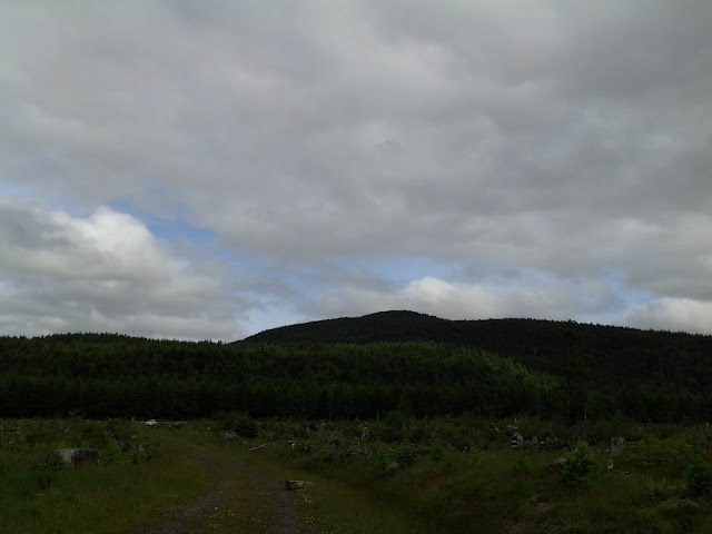
Maxwell Hill area, June 10, 2012.
Not far from this ridge on the early evening of Sept. 29, 1949 a C-82 "flying boxcar" from McChord Air Force base crashed near where the three counties share a point on the border killing all three crewman. For decades the burned out fuselage remained in the woods and the spot became known as "airplane crash" to locals, especially loggers and hunters.
Not far from this ridge on the early evening of Sept. 29, 1949 a C-82 "flying boxcar" from McChord Air Force base crashed near where the three counties share a point on the border killing all three crewman. For decades the burned out fuselage remained in the woods and the spot became known as "airplane crash" to locals, especially loggers and hunters.
Subscribe to:
Comments (Atom)


